Price: $9.69
(as of Sep 16, 2025 23:43:07 UTC – Details)
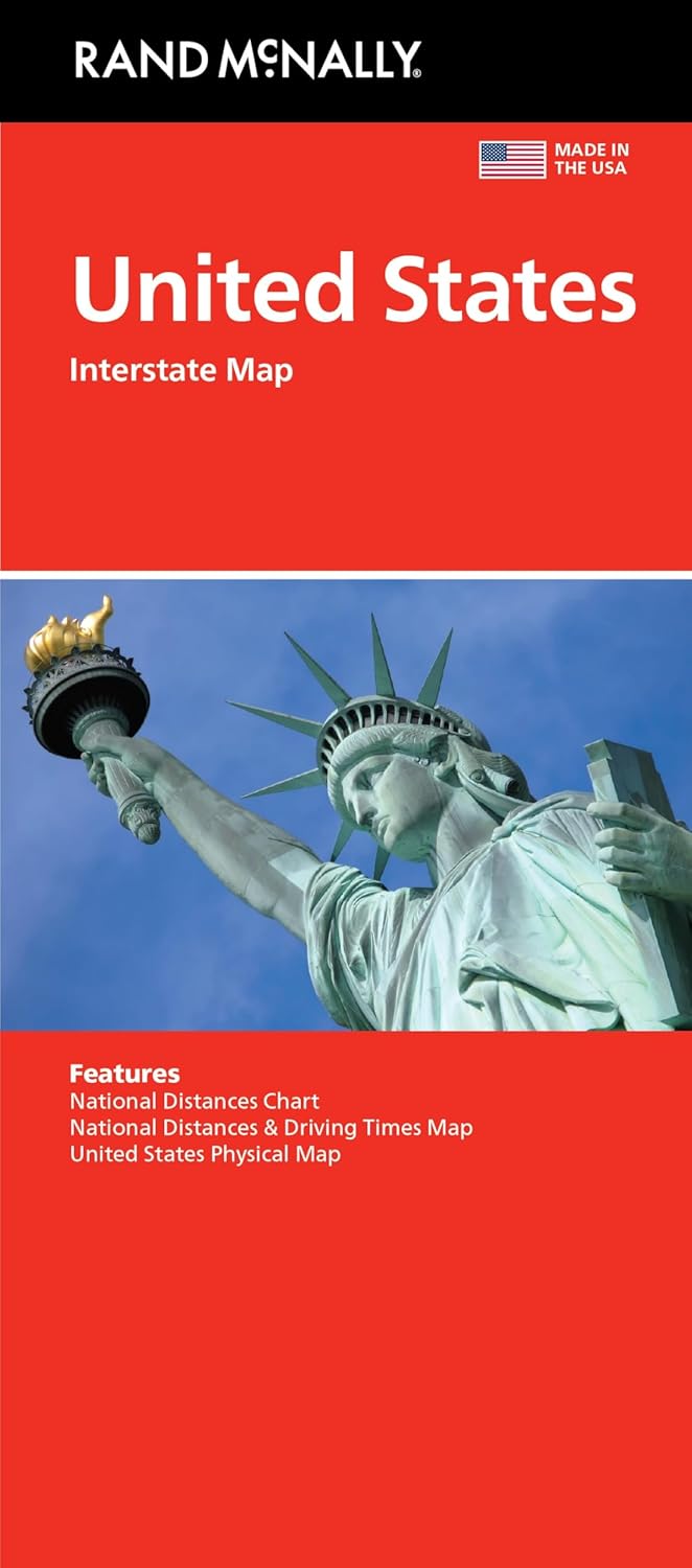
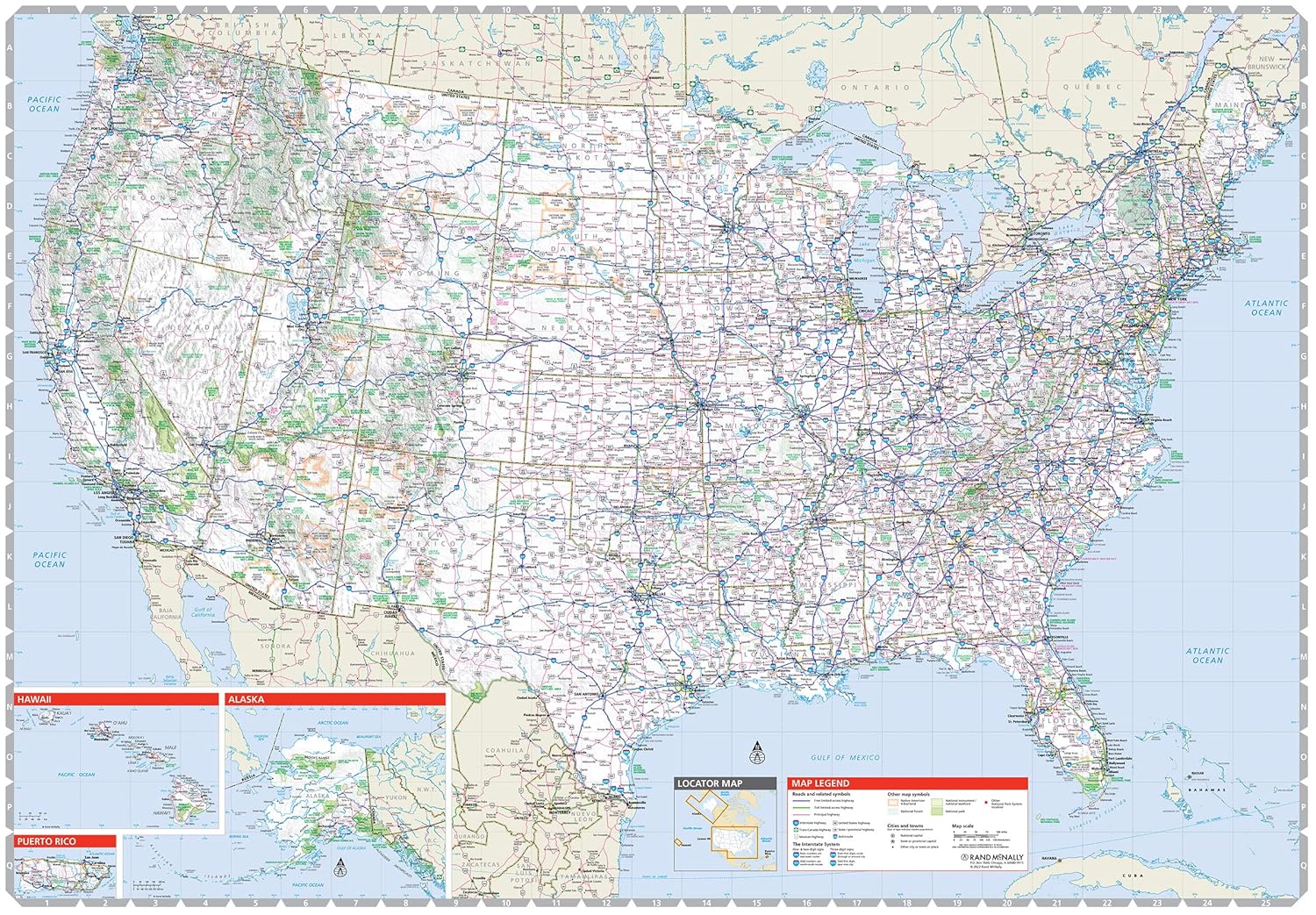
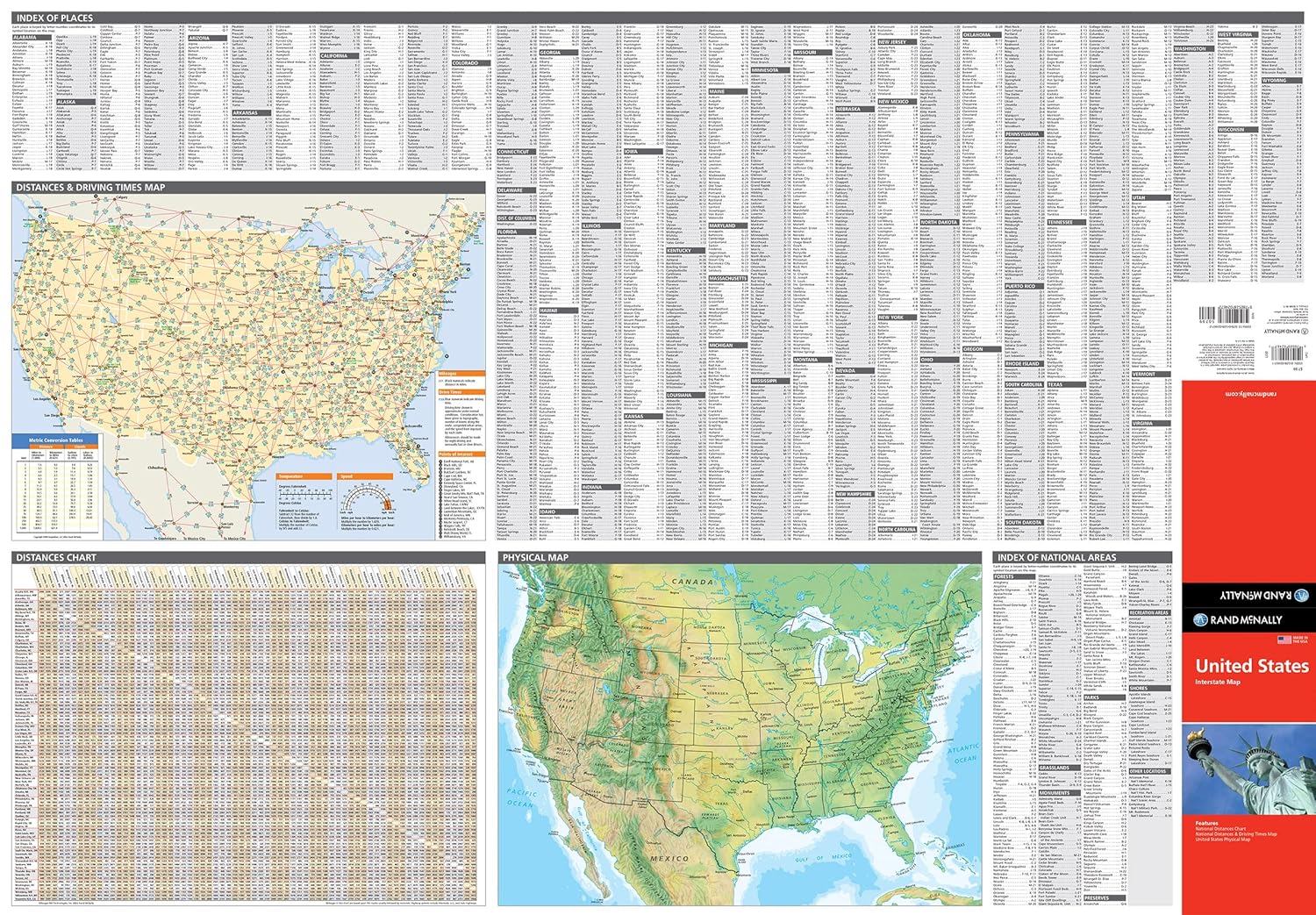
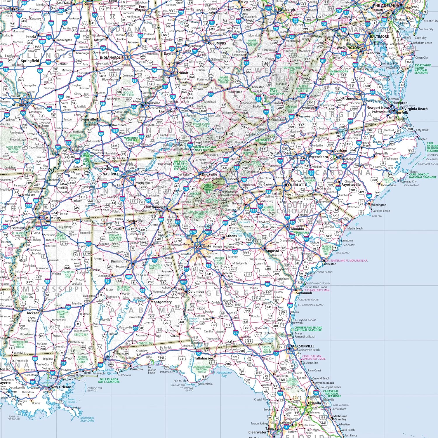
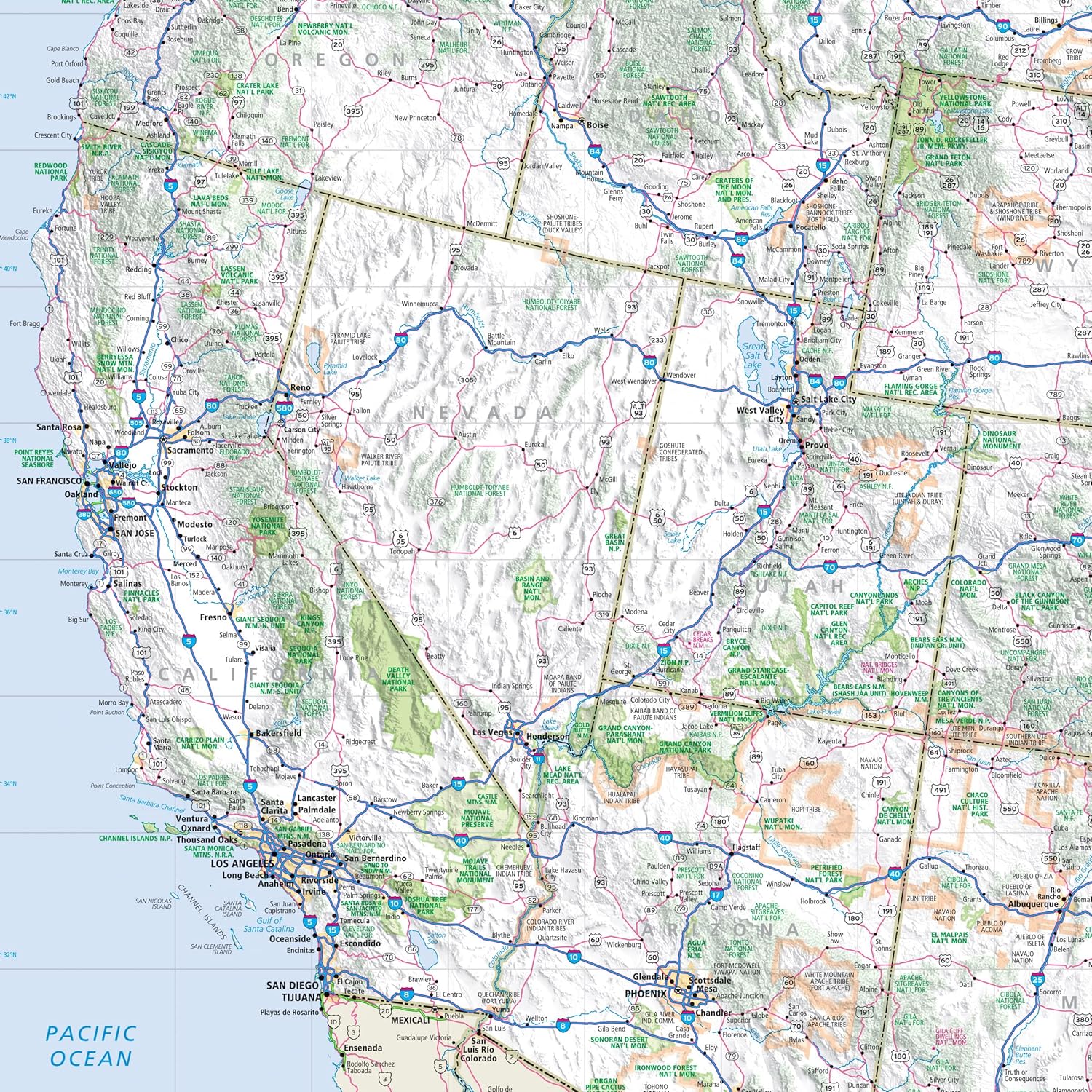
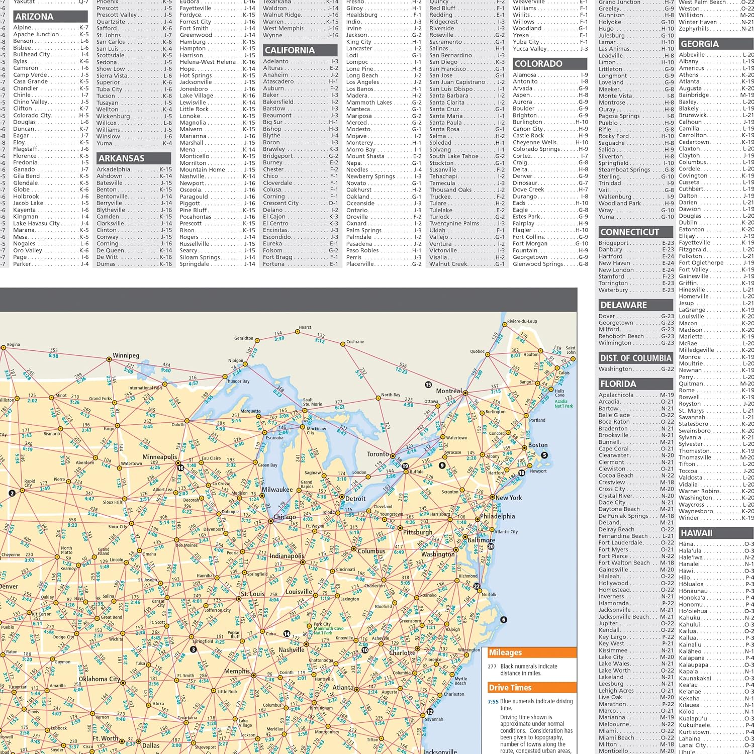
Rand McNally’s United States folded map features clear, easy-to-read cartography showing all Interstate and U.S. highways, along with clearly indicated cities, points of interest, airports, boundaries, and more. Rand McNally folded maps have been the trusted standard for years, offering unbeatable accuracy and reliability at a great price. – Interstate and U.S. highways. – Indications of cities, points of interest, airports, boundaries, and more. – Mileage chart. – Mileage & driving times map. – National facts and symbols. – Toll roads chart. – United States physical map. – Visitor information. Product Details: Measures 4.125″ x 9″ and folds out to 25.5″ x 36.75″.
From the Publisher
Rand McNally Folded Map: United States

Rand McNally folded maps have been the trusted standard for years, offering unbeatable accuracy and reliability at a great price.
Interstate and U.S. highwaysIndications of cities, points of interest, airports, boundaries, and moreMileage chartMileage & driving times mapNational facts and symbolsToll roads chartUnited States physical mapVisitor information
Measures 4.125″ x 9″ and folds out to 25.5″ x 36.75″.
Publisher : Rand McNally
Publication date : March 1, 2024
Language : English
Print length : 1 pages
ISBN-10 : 0528027786
ISBN-13 : 978-0528027789
Item Weight : 0.811 ounces
Dimensions : 4.02 x 0.47 x 9.13 inches


